Setting up a field and driving it, screen by screen
One field, one block and one drilling pass. These are the screens you work through between opening a project and handing over the results.
The field
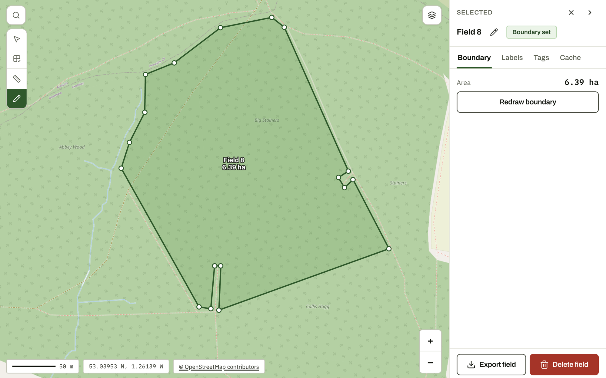
Draw the boundary on satellite imagery with the area shown as you go, or import one you already hold. Fences, tramlines and headlands are imported as reference lines that you can measure against.
Grid and placement
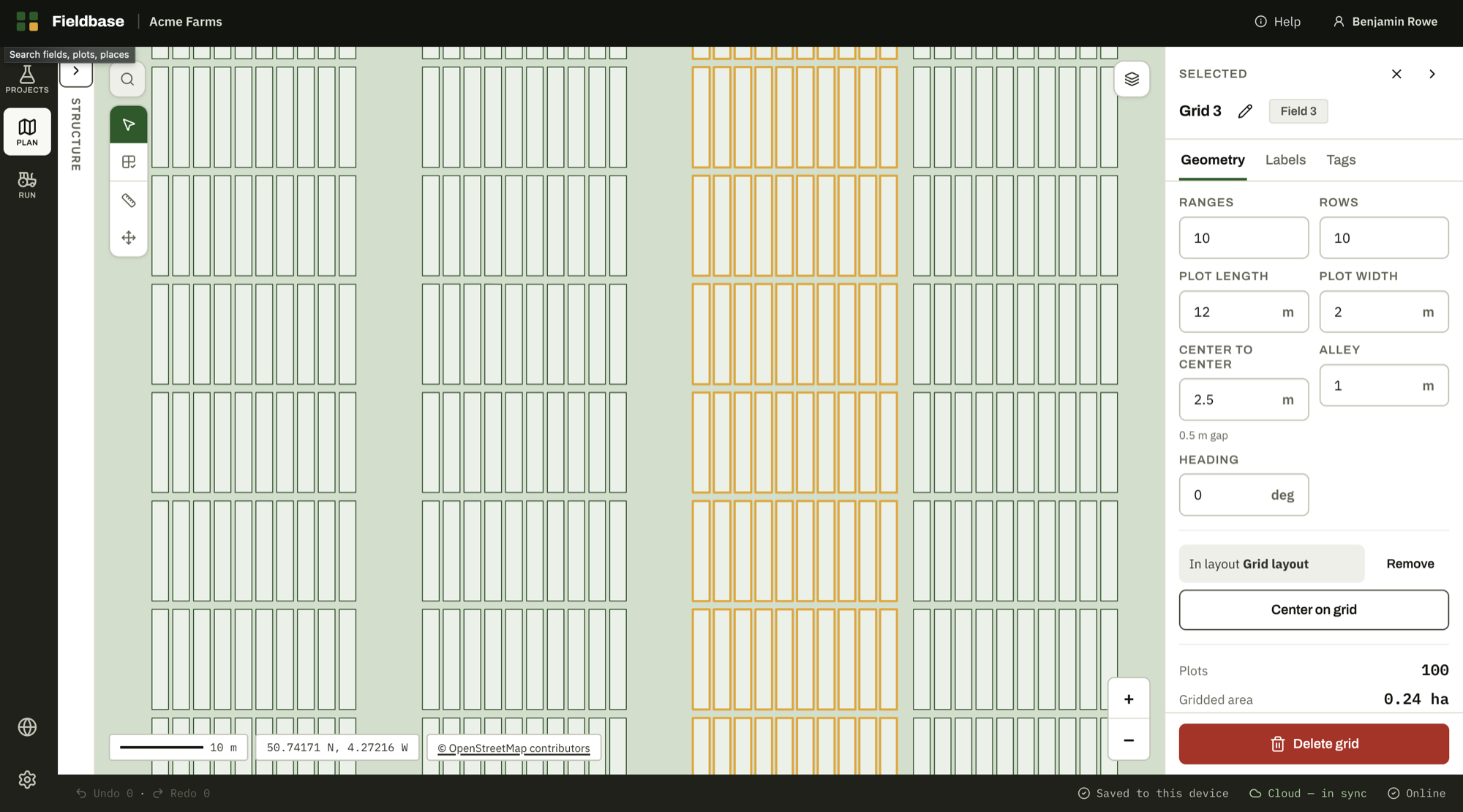
Enter the ranges, rows and plot size, take the spacing from your machine's working width, and set the numbering to match your fieldbook. As you move the block, eight clearance lines report the distance to the boundary, and you can type a distance to set it.
Run mode
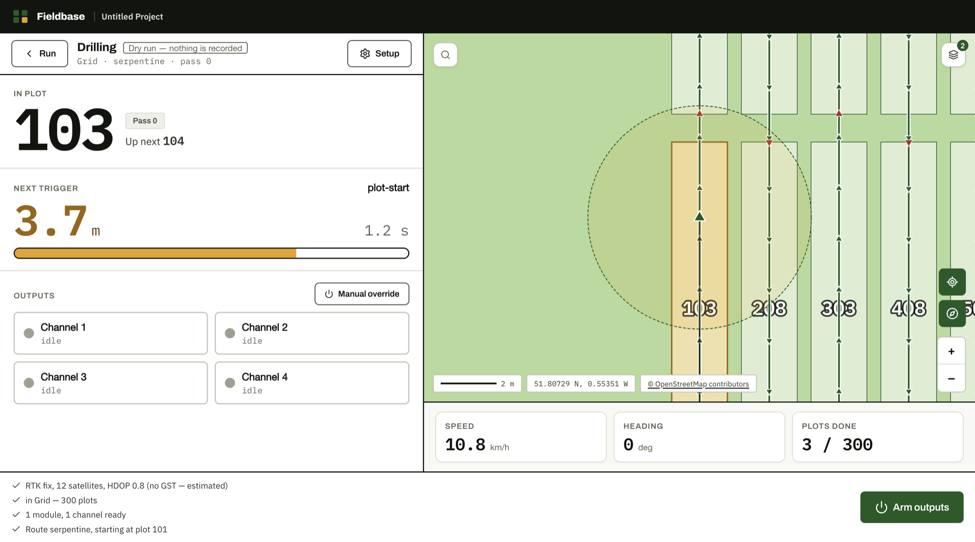
Name the job, complete the preflight check, then arm the system. Fieldbase fires your outputs at each plot edge, and disarms them if the GPS fix is no longer good enough to rely on.
Plot register and export
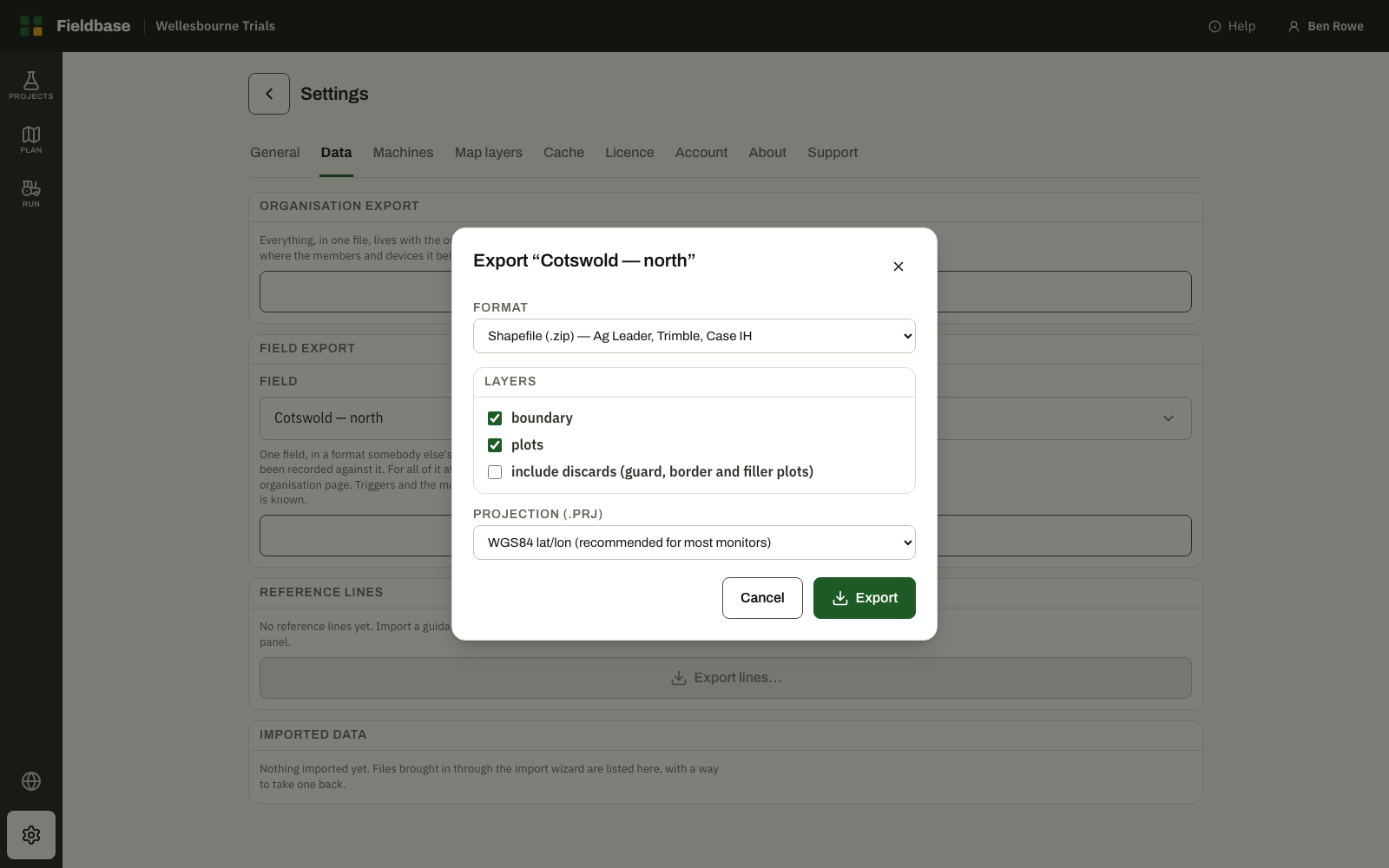
Each plot holds a record of what was done to it, by whom, and where each reading came from. Export the agronomy for your analysis, or the trigger points and driven route for your terminal.
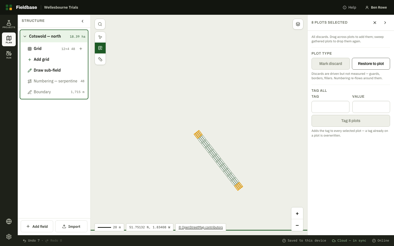
Discards and plots cut off by the boundary
Discards are driven but not measured. Plots cut off by the boundary remain in the model and are marked as excluded, so your plot numbering does not change part-way through a season. Both are carried through to the export exactly as they appear here.